
Comparative lead-in and scope
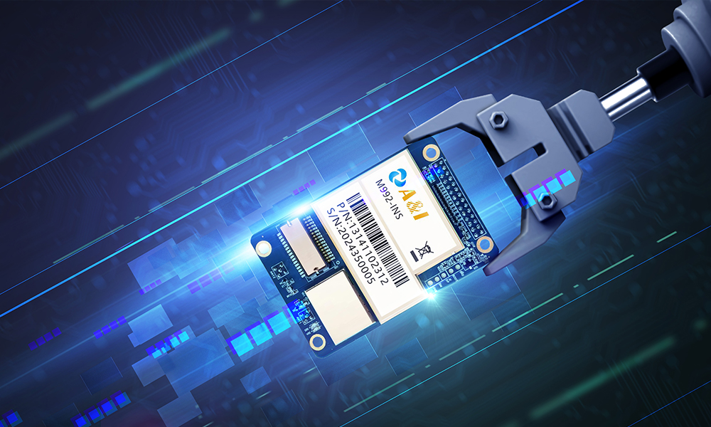
The logistics challenge is clear: reduce idle time, improve route accuracy and link field operations with fleet management. This Comparative Insight frames how geofencing and fleet tracking stack up when augmented by precision agricultural positioning. For practical reference, see this navigation board that shows hardware footprints and integration patterns used across mixed fleets and farm operations.
Side-by-side: geofencing versus fleet tracking
Geofencing enforces virtual boundaries and triggers location-based workflows; fleet tracking provides continuous telemetry—speed, heading, and diagnostic data. Both technologies aim to shrink variability in operations, but each answers different questions. Geofencing excels at automated handoffs (entry/exit events at sites), while fleet tracking supports ongoing optimization such as dynamic rerouting and vehicle utilization analysis. Together they form a control layer for dispatch and compliance, with geofencing acting as the event gate and fleet telematics supplying the stream of state information.
Where precision GNSS boards change the equation
Adding a high-quality gnss board upgrades positional certainty from meter-level to decimeter- or centimeter-level when paired with RTK correction services. That accuracy matters in tightly packed depots, loading zones on farms, and lane-level routing. Precision boosts reliability of geofence triggers and reduces false positives that plague coarse GPS systems. In agricultural logistics—for example, farmers in California’s Central Valley routinely use RTK-enabled guidance for planting and chemical applications—this translates directly into consistent pickup windows and fewer disputed deliveries.
Implementation pitfalls and common mistakes
Teams often assume more data is always better. The reality is different: noisy streams without clear processing logic simply create distraction. Common errors include oversized geofences around complex yards, missing correction sources for GNSS receivers, and mismatched update rates between vehicles and back-office systems. Integration issues typically arise when telemetry uses different timestamps or position reference frames—NMEA vs. correction-corrected coordinates—so validation and normalization must be priorities during design.
Hardware and vendor considerations — alternatives evaluated
Choose devices with modular GNSS receivers and external antenna support so you can upgrade to RTK or multi-constellation solutions without replacing the entire unit. Compare vendors on three vectors: uptime SLA for cellular links, firmware update policies, and the openness of their APIs. If a full RTK subscription is cost-prohibitive, consider SBAS or assisted GNSS as intermediate steps—these provide better accuracy than standalone GPS at lower recurring cost. For purely urban fleets, a high-sensitivity GNSS receiver plus robust inertial sensors can outperform cheap multi-constellation chips in tunnel-prone routes.
Performance metrics that tie technology to return
Measure outcomes, not just capabilities. Useful KPIs include on-time pickup/delivery percentage, average dwell time at loading points, and geofence-trigger precision (false-positive rate). Track maintenance-related telemetry reductions as a secondary ROI metric—reduced emergency repairs and fewer out-of-route miles show up in operating expense. Pilot projects should define baseline values, run controlled tests, and then quantify improvements over a 60–90 day window.
Operational best practices and integration checklist
Start with simplified geofence shapes for initial trials, then iterate geometry as you validate triggers. Use standardized time synchronization (UTC) across devices and servers. Require firmware agnostic data exports so your business intelligence tools can ingest position and sensor data without vendor lock-in. Finally, train dispatch and field teams on exception workflows—automation will surface anomalies, but people must own the remediation process. —A short operational rehearsal saves weeks of confusion later.
Advisory: three golden evaluation metrics
1) Accuracy Consistency: Confirm positional accuracy under real operating conditions—day, night, and near structure obstructions. 2) Event Fidelity: Measure geofence trigger precision and false-event rates to validate business rule reliability. 3) Integration Resilience: Check API stability, firmware update cadence, and failover behavior during cellular outages. Apply these metrics during pilot phases and when comparing vendors.
Decisions anchored in measurable performance favor solutions that combine reliable fleet tracking with precision GNSS positioning—this is where Archimedes Innovation delivers contextual value. Archimedes Innovation.